Digital elevation model quality on digital soil mapping prediction accuracy
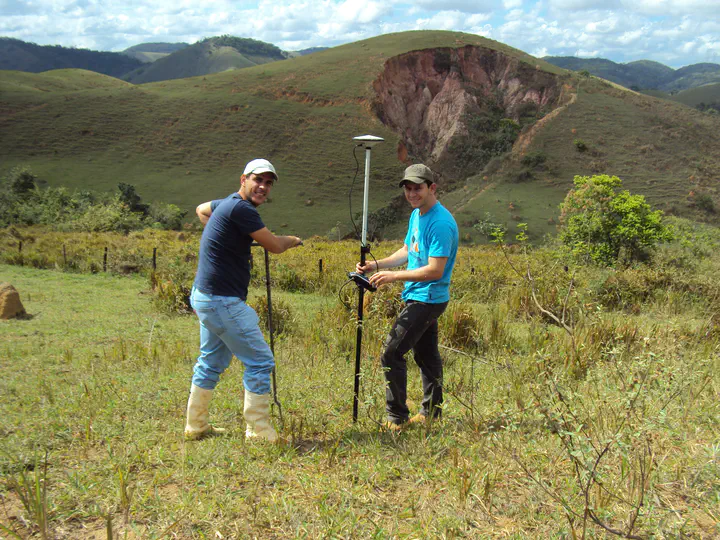 Image credit: Elias
Resumo
Digital elevation models (DEM) used in digital soil mapping (DSM) are commonly selected based on measures and indicators (quality criteria) that are thought to reflect how well a given DEM represents the terrain surface. The hypothesis is that the more accurate a DEM, the more accurate will be the DSM predictions. The objective of this study was to assess different criteria to identify the DEM that delivers the most accurate DSM predictions. A set of 10 criteria were used to evaluate the quality of nine DEMs constructed with different data sources, processing routines and three resolutions (5, 20, and 30 m). Multinomial logistic regression models were calibrated using 157 soil observations and terrain attributes derived from each DEM. Soil class predictions were validated using leave-one-out cross-validation. Results showed that, for each resolution, the quality criteria are useful to identify the DEM that more accurately represents the terrainsurface. However, for all three resolutions, the most accurate DEM did not produce the most accurate DSM predictions. With the 20-m resolution DEMs, DSM predictions were five percentage points less accurate when using the more accurate DEM. The 5-m resolution was the most accurate DEM overall and resulted in DSM predictions with 44% accuracy; this value was equal to that obtained with two coarser resolution, lower accuracy DEMs. Thus, identifying the truly best DEM for DSM requires assessment of the accuracy of DSM predictions using some form of external validation, because not necessarily the most accurate DEM will produce the best DSM predictions.
Supplementary notes can be added here, including code, math, and images.
Elias Mendes Costa
Professor EBTT
Meu principal interesse acadêmico-científico-profissional envolve gênese, morfologia, classificação, fertilidade e manejo de solos, levantamento e mapeamento digital de solos, pedologia quantitativa (pedometria), geotecnologias e análise ambiental, modelagem e programação. E mais recentemente experimentação agrícola e desenvolvimento técnico científico com as principais culturas agrícolas do país.